
Back to Northwest Quadrant – YEG-Ville.
According to Angler’s Atlas [1]: “Muir Lake is an Alberta success story. A decade ago, the Muir Lake Rehabilitation Project transformed the lake by adding aerators to reduce winter kill, restored the shoreline and stocked the lake with rainbow trout. Promoting the catch-and-release philosophy has helped to ensure that the trout have a chance to grow larger.”
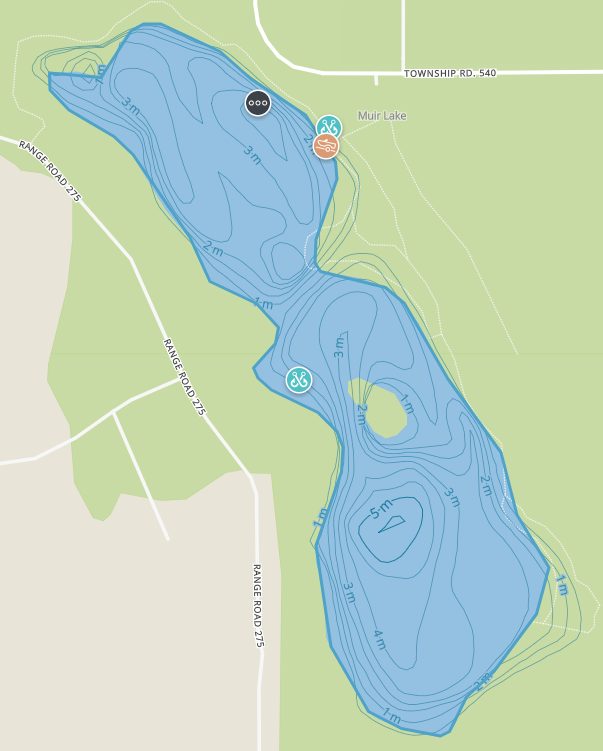
The Muir Lake recreational area is operated by Parkland County. It occupies a small area so it is best for either Low Beginners or in combination with other trips in the area.
The Fast Facts
- EASY-PEASY.
- Worth Visiting
- Washrooms.
- Kid Friendly
- Low Beginner if you stay on the trails, High Beginner on the Ice.
Beware the ATVs
Unfortunately, ATVs have made a mess of the trails in the area (zooming past the no motorized vehicle signs) so be careful on the rutted trails. To the Southwest of the lake is private land that has a network of trails. It is unclear who maintains these trails or if public access is permitted. These trails are not accessible from the park but can be accessed from the lake (when frozen). Given that this is private land and involves walking on the lake, proceed with caution and at your own risk if entering this area.
The Details…
- Name/Owner: Muir Lake, Operated by Parkland County
- Map Reference, Location and WGU:
- Central Alberta Backroads Map Book, p. Edmonton (p. 45), Cell B4.
- 53′ 38″ -113′ 57″. From the Yellowhead, drive north along Range Road 274 and turn West (left) on to Township Road 540. The lake is on the left.
- WGU Driving Time & Distance: 35 Min(s) & 41 Kilometers.
- Difficulty Level & Safety: Beginner; Cautions or Notes: None.
- Description: 110 acres including Muir Lake. Trails are rutted due to quad/ski doo traffic. Okay for snowshoeing, rough for skiing.
- Location: West of St. Albert, other side of the road from Chickakoo. Use: 42 Howery Dr, Spruce Grove, AB T7X for GPS coordinates.
- Activities: Multiple trails for snowshoeing, all beginner although slightly uneven.
- Cautions or Notes: None.
- Links:
- The Other Shoe: Fishing in the summer.
- Frank’s Trip Notes: visited numerous times.
Notes and References
- “Muir Lake, Alberta | Angler’s Atlas.” Accessed December 5, 2020. https://www.anglersatlas.com/place/102000/muir-lake.
- Thomas, Mary, and Hacienda Consulting. “Nature Tour.” Town of Onoway. Accessed December 5, 2020. https://www.onoway.ca/visitors/nature-tour.
