
The Northwest corner of YEG-Ville goes west towards Jasper and the start of Northern Alberta.

Border Zone
The quadrant is a border zone in many ways. There are estate communities to the west into which metro-Edmonton is sending out its suburban feelers. Farm land is making a valiant stand against this change. Further West, Obed and Sundance Provincial Park are in the foothills but not quite the Rocky Mountains. North, the city of Athabasca starts the long march into boreal forest, the mysteries of the Canadian North and the Hudson Bay era in the area.
Unlike in the US or Eastern Canada, European influence came from the North and worked its way south. For example, the Athabasca River was a conduit for First Nations and European traders for more than five centuries. YEG-Ville is part of a historical border zone as well. This North-South conduit slowly gave way to an East-West corridor with the coming of lumbering Red River carts and then the railways.
As you visit the locations, enjoy the natural history context, particularly post glaciation. Humans came soon after the ice receded. The First Nations were the first colonizers. Thousands of years later, they mixed with Hudson Bay to create the Metis. As the railways came, settlers poured in from around the world. While snowshoeing, remember to stop and hear the echoes of 12,000 years of human expansion of this border zone.
A Year’s Worth of Snowshoeing
The are 115 locations to explore in this quadrant. Assuming about 120 snowshoe days a year, visiting every one will take you about a year.
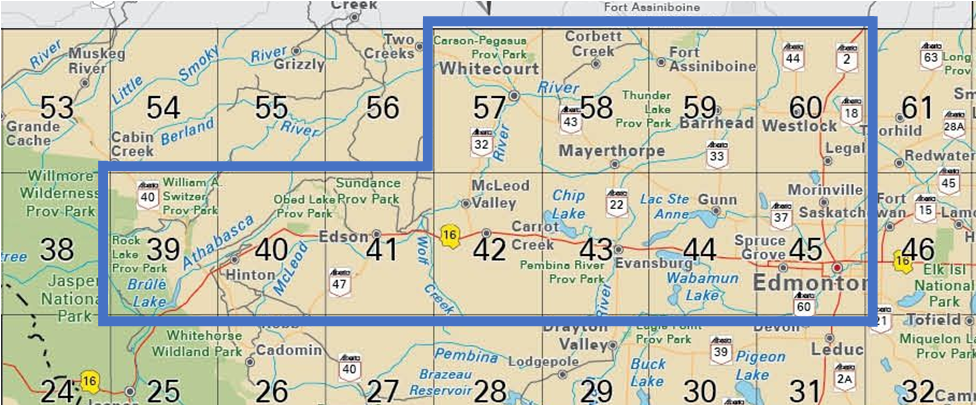
Where To Start – With a Map Book
The Blue Pins in the above map are the locations yet to be visited by myself. The pin in the bottom right corner is Wayne Gretzky’s from which all measures are taken.
Organizing 100+ potential locations is a bit of a challenge so this is where Backroads Map Books come in. Two books are are required, one for Central Alberta (5th edition) and the Northern Alberta (4th edition). If you have an older version of either, the page numbers and grid references are ‘probably’ the same.

A List of Shoeing
The following list links to individual pages for the locations in the NW quadrant I have visited to date. It is not the full 100+ but more will be added with each adventure. Happy snow shoeing (or other activity). Hopefully I will see you on a (NW Quadrant) trail!
Wabamun Lake
- Baybidge Park [PENDING]
- Bilby Natural Area.
- Devil’s (Matchayaw) Lake.
- East Pit Lake [PENDING]
- Imrie Park Campground
- Isle Lake Natural Area.
- Kakina Lake Natural Area.
- Kilini Creek Natural Area
- Kokomoko Recreational Area
- Lessard Lake Campground [PENDING]
- Lily Lake Natural Area [PENDING]
- Manly Corner Natural Area [PENDING]
- Salters Lake.
- Smithfield Natural Area [PENDING]
- Wabamun/Whitewood [PENDING]
Edmonton
- Chickakoo Recreation Area
- Glory Hills Ski Trails (maskihkîy meskanaw)
- Lois Hole Provincial Park – East Corner
- Lois Hole Provincial Park – North + Big Lake Interpretive Trail [PENDING]
- Lois Hole Provincial Park – West Section [PENDING]
- Muir Lake
- River Lot 56
- Sandy Lake Wilderness Area. [PENDING]
- Sturgeon River to Almost Big Lake [PENDING]
- Sturgeon River to Big Lake [PENDING]
